Welcome to Techinfra Solutions | Analyze - Innovate - Deliver

  • Call us now
    +91-98126-52298
  • 1st Floor, R.K. Tailor, Old Bus Stand,
    Jind Road, Narnaund, Hisar

Field Strength

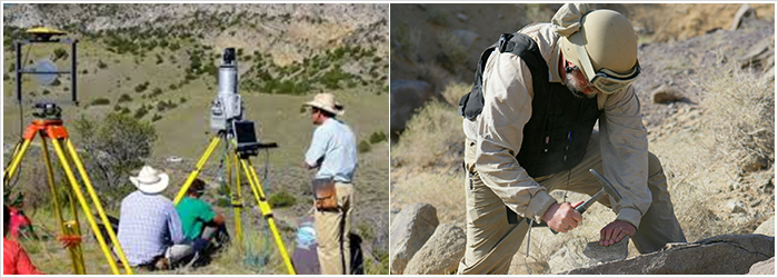
Topographical Survey
For carrying out topographic survey DGPS is being used to develop an accurate precise contour map from which topographical elevations can be revealed clearly. Differential GPS (DGPS) was developed to meet the needs of positioning and distance-measuring applications that required higher accuracies than stand- alone Precise Positioning Service (PPS) or Standard Positioning service (SPS) GPS could deliver.

We are well equipped with the sufficient manpower and equipments to serve you

  • Ground Control Points
  • Land Survey, Demarcation
  • Layout and carryout topographical surveys
  • Preparation and Drawing of Cross Sections, L-Sections
  • Levelling and Contours
  • Quantity Calculations


Geological Survey
  • Reconnaissance Survey
  • Geological Mapping (at project site)
  • Geological Rock Sampling
  • Sample Physical and Chemical Analysis
  • Geological Interpretation Maps at preferred scale


Skilled Human Resource/Consultant
We do provide consultancy services to serve you for Project Life Cycle till the project closure taking all the risks and challenges into consideration. We have leading and well experienced consultants in organization panel to support you all the way.